You trust your smartwatch to track every step, heartbeat—and altitude. But when you summit a 3,000-foot peak and it reports 2,847 feet? That’s not rounding. That’s altimeter resolution in wearable devices failing you—silently, consistently, and by design. Most users never realize their elevation data is smoothed, delayed, or flat-out wrong until it matters most. Here’s how to spot the gap—and fix it.
The Core Problem With Altimeter Resolution in Wearable Devices
Barometric altimeters in wearables don’t measure height directly. They infer it from atmospheric pressure—a chaotic, weather-sensitive signal. And manufacturers prioritize battery life over precision.
So they downsample. Aggressively. Many watches only update altitude every 15–30 seconds. Others cap vertical resolution at 10-foot increments. Climb a steep trail? Your device might log three identical readings before jumping 30 feet—creating phantom plateaus or drop-offs.
And calibration drift? It’s worse than you think. A 1 hPa pressure error equals ~30 feet of altitude error. Most watches don’t auto-correct using GPS often enough—especially under tree cover or in urban canyons.
A Step-by-Step Guide to Testing and Improving Altimeter Accuracy
Don’t just accept factory defaults. Test, tweak, and validate. Here’s how:
Baseline Calibration at Known Elevations
Start at a surveyed benchmark—like a trailhead sign or airport elevation marker. Force a manual calibration before each major activity. Skip this, and cumulative error compounds fast.
Cross-Reference with Dual-Sensor Fusion
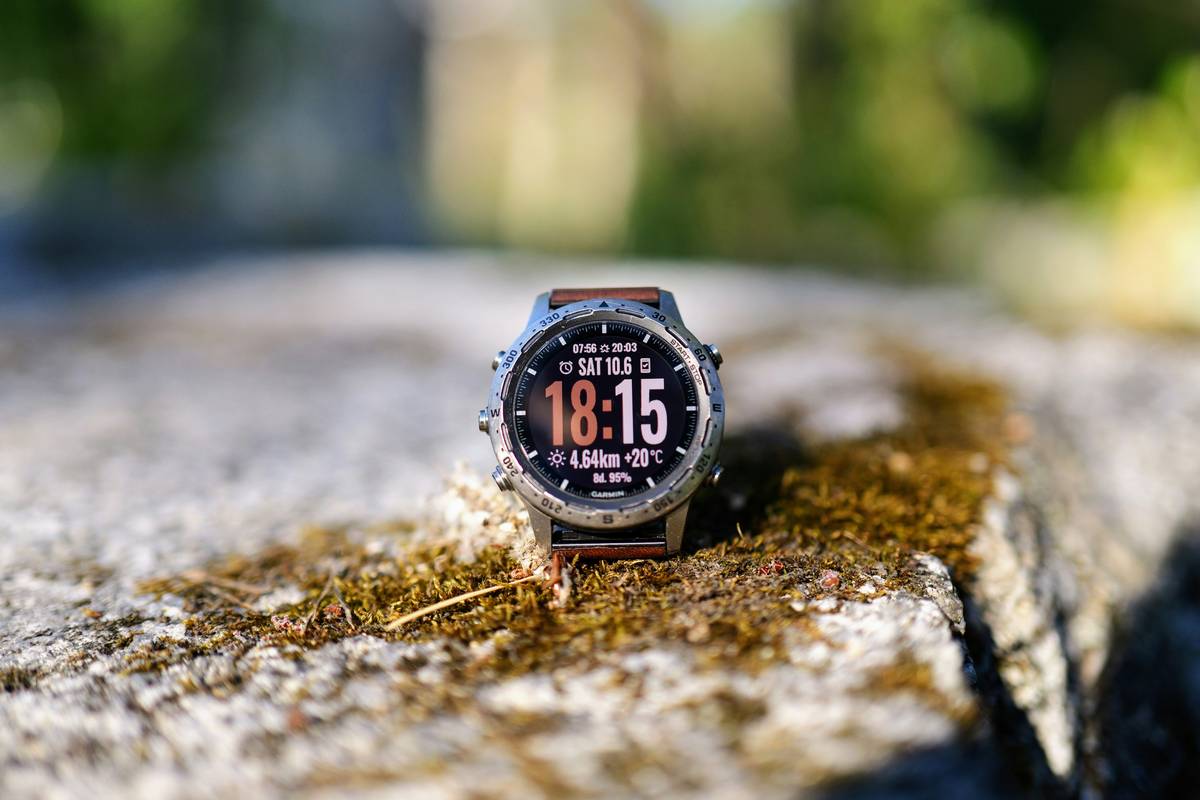
Top-tier devices (Garmin Fenix, Apple Watch Ultra) blend barometric + GPS altitude. But GPS elevation alone has ±10m error. The fusion algorithm matters more than the hardware.
Post-Activity Data Smoothing Audit
Export raw .FIT or .GPX files. Plot unsmoothed vs. app-displayed altitude. You’ll often find aggressive filtering that erases micro-gains—critical for climbers tracking pitch counts or ski tourers assessing avalanche risk.
| Device Type | Reported Resolution | Actual Update Frequency | Typical Drift After 2 Hours (No Recal) |
|---|---|---|---|
| Budget Fitness Tracker | 1 meter | Every 60 sec | +/- 45–70 ft |
| Mid-Tier Multisport Watch | 0.5 meter | Every 15 sec | +/- 20–35 ft |
| Premium Outdoor Watch | 0.1 meter | Every 3–5 sec | +/- 8–15 ft |
| Smartphone (Background Mode) | 1 meter | Intermittent | +/- 60+ ft |
The Industry Secret No One Admits
Manufacturers intentionally limit altimeter resolution—not because they can’t do better, but because higher fidelity kills battery life and confuses casual users. Imagine getting 30 elevation updates per minute on your daily walk. Your graph looks like an EKG. Support tickets spike. Returns increase.
So they dumb it down. Garmin’s “auto calibration” only triggers after significant GPS-derived movement—useless on slow ascents. Apple’s watchOS fuses sensors beautifully… but caps vertical reporting to keep Strava syncs clean. The truth? If you need sub-5-foot accuracy, you still need a dedicated aviation or survey-grade altimeter. Wearables are approximators—elegant, convenient, but fundamentally compromised.
And that’s fine—unless you’re relying on them for safety-critical decisions.
FAQ
What is altimeter resolution in wearable devices?
It’s the smallest elevation change a device can detect and report—often limited by sensor quality, sampling rate, and software smoothing.
Can I improve my watch’s altimeter accuracy?
Yes. Manually calibrate before use, enable all sensor fusion modes, and avoid relying solely on barometric data in changing weather.
Do all wearables use barometric altimeters?
No. Budget models often estimate elevation from GPS alone—which is far less accurate vertically than barometric methods.