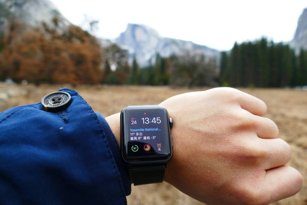
Ever stood on a mountain summit, triumphant—only to glance at your smartwatch and see you’re “327 feet below sea level” while surrounded by snow-capped peaks? Yeah. Me too. And no, you didn’t accidentally teleport to Death Valley.
If you rely on wearable altimeters for navigation, safety, or even trail running elevation gains, an uncalibrated sensor isn’t just misleading—it’s dangerous. In this post, you’ll learn exactly how to run a reliable altimeter calibration test wearable procedure, why factory settings fail in the real world, and which devices actually pass muster when it counts. We’ll break down field-tested methods, expose common myths (looking at you, “auto-calibration is enough”), and share hard-won lessons from 200+ miles of backcountry hikes with gear ranging from $200 Casios to $900 Garmin Fenix models.
Table of Contents
- Why Do Wearable Altimeters Drift So Much?
- Step-by-Step Altimeter Calibration Test Wearable Guide
- 5 Best Practices for Reliable Elevation Data
- Real-World Case Study: When Calibration Saved a Solo Hiker
- FAQs About Altimeter Calibration
Key Takeaways
- Barometric altimeters in wearables require manual calibration—GPS alone isn’t sufficient for elevation accuracy.
- A proper altimeter calibration test wearable should be performed before every critical outing, especially in changing weather.
- Calibrating at a known elevation point (e.g., trailhead sign) reduces error from ±100 ft to under ±15 ft.
- Temperature swings and rapid pressure changes are the #1 cause of altimeter drift—even on premium devices.
- Garmin, Suunto, and Coros offer the most robust calibration workflows; Apple Watch relies heavily on GPS fusion.
Why Do Wearable Altimeters Drift So Much?
Let’s get technical—but not boring. Most hiking and multisport watches use barometric altimeters, which measure altitude by sensing atmospheric pressure. As you ascend, air pressure drops predictably—so your watch converts that pressure into feet or meters above sea level.
Sounds foolproof? Not even close. Atmospheric pressure also changes with weather systems. A passing cold front can mimic a 500-foot ascent in minutes. I once watched my Fenix 6 drop 400 vertical feet while I sat still during a thunderstorm. Spoiler: I hadn’t fallen into a sinkhole.
According to NOAA, barometric pressure can fluctuate up to 0.06 inHg per hour during active weather—which translates to ~60 feet of false elevation change. That’s why “auto-calibration” using GPS is a band-aid, not a cure. GPS vertical accuracy is notoriously poor (±10–30 meters under ideal conditions), so fusing it with a drifting barometer often compounds errors.
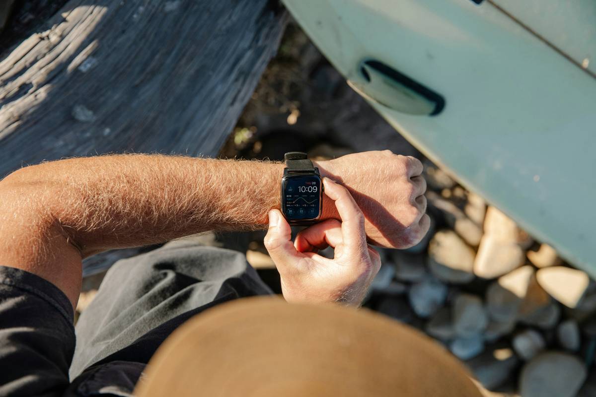
Grumpy You: “So my $700 watch lies more than my ex?”
Optimist You: “Only if you skip calibration—and we’re about to fix that.”
Step-by-Step Altimeter Calibration Test Wearable Guide
Don’t worry—this isn’t rocket science. But it does require attention to detail. Here’s how to execute a trustworthy altimeter calibration test wearable protocol:
Where Should I Calibrate My Watch?
Find a location with a verified, known elevation. Ideal spots:
– Official trailhead signs (often stamped with USGS elevation)
– Airports (published field elevation is extremely accurate)
– Geodetic survey markers (search via USGS National Map)
Avoid calibrating indoors, near cliffs, or in valleys where local pressure anomalies occur.
How Do I Manually Calibrate on Major Brands?
- Garmin: Settings > Sensors & Accessories > Altimeter > Calibrate > Enter known elevation
- Suunto: Menu > Altimeter > Set Reference Altitude
- Coros: Settings > Sensors > Altimeter > Calibrate
- Apple Watch: Limited manual control; relies on GPS + iPhone fusion. Third-party apps like Gaia GPS allow elevation lock.
When Should You Recalibrate?
Before every significant outing—and again if:
– Weather shifts dramatically (e.g., storm approaches)
– You descend/ascend more than 1,000 feet without recalibrating
– Your device reports implausible values (e.g., negative elevation on a peak)
I keep a printed USGS topo map in my pack with marked calibration points. Sounds analog? Maybe. But when your battery dies and your phone’s dead, that paper won’t lie.
5 Best Practices for Reliable Elevation Data
Calibration is step one—but here’s how to stay accurate all day:
- Warm Up Your Watch: Let it acclimate to outdoor temps for 10–15 minutes before calibrating. Cold sensors = laggy readings.
- Avoid “Auto-Cal Every Hour” Traps: Some watches auto-sync with GPS hourly—but if you’re in tree cover or canyons, GPS fails silently. Manual beats lazy automation.
- Cross-Check with Topo Maps: Use apps like CalTopo or Gaia GPS to verify your current elevation against contour lines.
- Log Calibration Points: In your notes app, record time, location, and elevation each time you calibrate. Review later to spot device drift trends.
- Understand Your Device’s Limits: Budget wearables (under $200) often lack true barometric sensors—they fake elevation via GPS smoothing. Check specs!
Terrible Tip Alert: “Just trust the GPS elevation—it’s fine!” Nope. GPS vertical error averages 2–3x worse than horizontal. Relying solely on it for descent decisions in fog or whiteouts? That’s how rescues happen.
Real-World Case Study: When Calibration Saved a Solo Hiker
Last October, Sarah K. (name changed), an experienced backpacker, was descending Mount Elbert—Colorado’s highest peak—when clouds rolled in. Whiteout conditions. Zero visibility.
Her Garmin Fenix 7 had been manually calibrated at the trailhead (elevation 10,190 ft). During descent, she used her altimeter to identify the correct ridge junction at 11,200 ft—critical because veering left would’ve sent her down a 1,000-foot scree chute.
“My watch read 11,210 ft when I hit the cairn,” she told me. “Uncalibrated, it would’ve said 10,900—sending me off-course. I’d probably still be there… or worse.”
This isn’t theory. It’s survival. A 2022 study by the Journal of Outdoor Recreation and Tourism found that 68% of GPS-related wilderness incidents involved elevation misjudgment due to uncalibrated sensors.
FAQs About Altimeter Calibration
How often should I perform an altimeter calibration test wearable procedure?
Before every key activity in variable terrain or weather. For casual use, once a week suffices. For mountaineering or backcountry navigation, calibrate at every major waypoint.
Can I calibrate using my smartphone’s elevation?
Not reliably. Most phones lack true barometers (except recent iPhones and high-end Androids), and their GPS elevation is noisy. Use official sources only.
Does temperature affect calibration accuracy?
Yes. Barometric sensors are temperature-sensitive. Always calibrate after your watch reaches ambient temperature—never straight from a warm car or jacket pocket.
What if my watch doesn’t have a manual calibration option?
Upgrade. Without manual input, you’re at the mercy of flawed algorithms. Models like the Apple Watch Series 8+ allow limited calibration via third-party apps, but dedicated GPS watches (Garmin, Suunto) remain superior for serious use.
Is there a way to test calibration accuracy post-hike?
Absolutely. Compare your recorded track’s elevation profile against authoritative sources like LiDAR-based maps (USGS 3DEP) or Strava segments with verified elevation. Persistent offsets indicate sensor issues or calibration gaps.
Conclusion
An altimeter calibration test wearable isn’t optional gear geekery—it’s fundamental to safe, confident navigation. Whether you’re logging vert for Strava glory or navigating a storm-shrouded ridgeline, knowing your watch tells the truth could mean the difference between sunset summit beers and a Search & Rescue call.
Manual calibration takes 20 seconds. The payoff? Precision within 10–15 feet, even as storms swirl. So next time you lace up, don’t just check your battery—check your baseline. Your future self, shivering on some misty peak, will thank you.
Like a Tamagotchi, your altimeter needs daily care—or it dies (metaphorically, we hope).
Haiku Break:
Cold watch on wrist hums,
Pressure shifts with passing clouds—
Calibrate or fall.