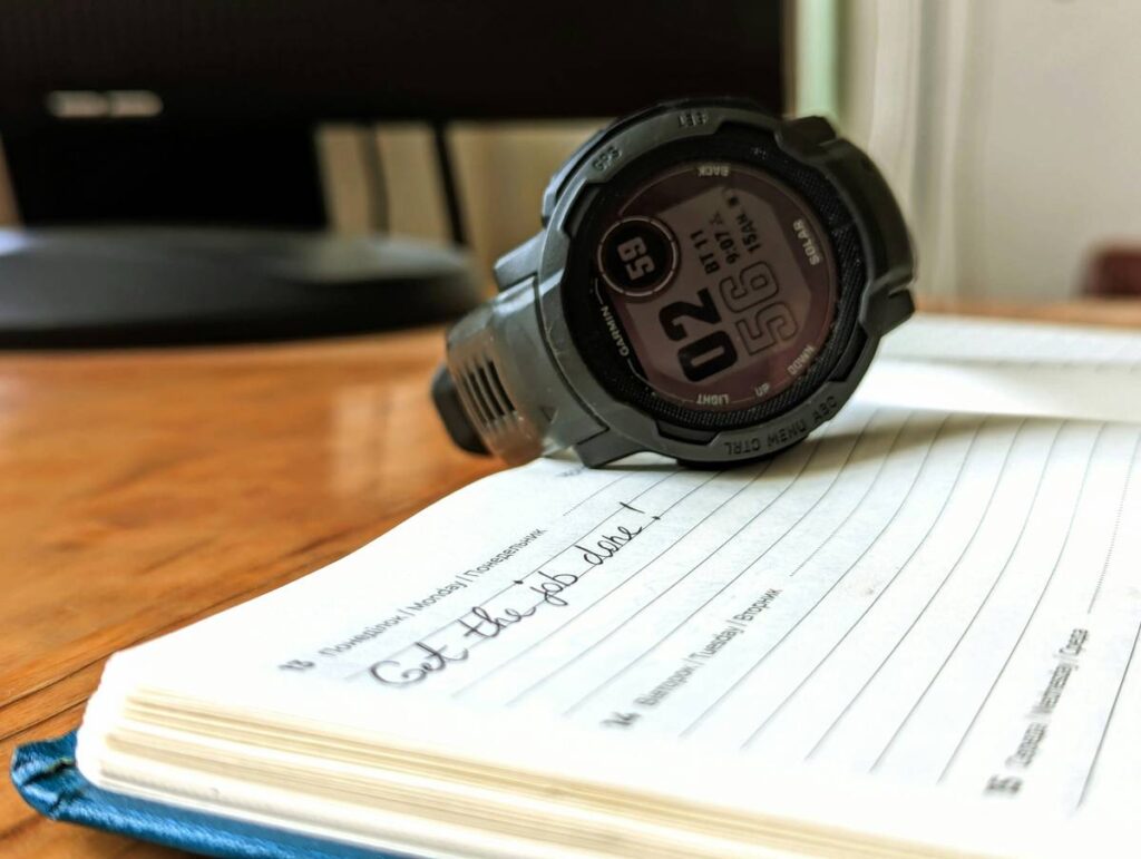
You’re halfway up a steep ridge, breath shortening with every step. Your phone’s GPS flickers—low signal, dead battery in 20 minutes. You glance at your watch. It shows elevation, but is it accurate? Misreading altitude can turn a scenic hike into a survival scenario. Altitude awareness hiking tips aren’t just about gear—they’re about judgment, calibration, and knowing when tech lies to you.
Why Most Hikers Get Altitude Wrong (And Pay for It)
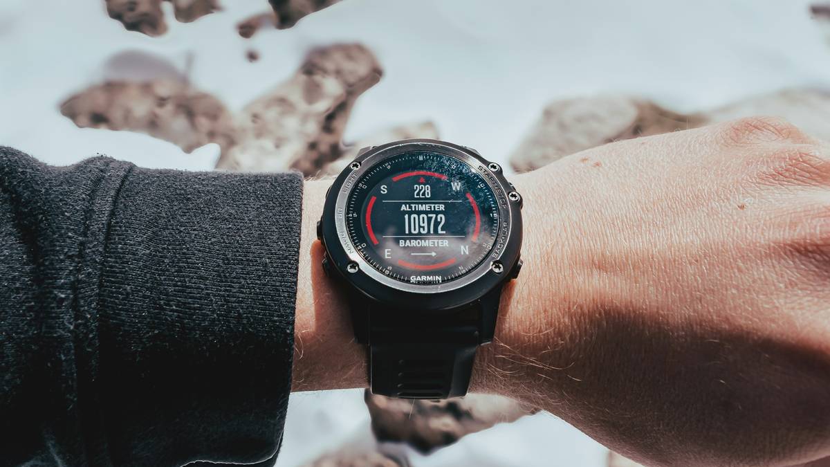
Barometric altimeters—common in smartwatches and handheld devices—measure air pressure to estimate elevation. Sounds solid. Until a storm rolls in. Pressure drops, your watch thinks you’ve climbed 500 feet overnight while you were asleep at basecamp. Now your “current altitude” is off by a football field’s height. And on a narrow trail above a scree slope? That error isn’t academic—it’s dangerous.
GPS-based elevation? Better, but still flawed. Under tree canopy or in deep valleys, satellite signals bounce or drop out. The result: jittery readings that swing wildly between steps. Relying solely on digital readouts without cross-checking invites trouble.
Step-by-Step Altitude Awareness Strategy for Hikers
Calibrate Before You Climb
Always set your altimeter to a known elevation before starting—trailhead markers, USGS benchmarks, or even your car’s parking spot if verified via topo map. Do this daily; weather shifts reset baseline pressure. Skip this, and every subsequent reading drifts.
Pair Tech With Terrain Recognition
Match your altimeter’s number to landforms. Are you at 7,200 feet? Then you should see the distinct saddle described in your route notes—not the cliff band that appears at 7,800. If numbers and landscape disagree, trust the rocks, not the screen.
Use Redundancy—Not Just One Device
A watch, a dedicated GPS unit, and a paper map create a triangulation of truth. When two agree, you’ve got high confidence. When all three diverge? Stop. Reassess. Don’t push forward assuming one is right.
| Altitude Reference Method | Accuracy Range | Cost | Best Use Case |
|---|---|---|---|
| Barometric Altimeter (Watch) | ±50–150 ft (uncalibrated); ±20–50 ft (calibrated) | $200–$600 (built into premium watches) | Real-time ascent/descent tracking on clear-weather hikes |
| GPS Elevation (Smartphone or Handheld) | ±100–300 ft (varies with sky view) | $0–$400 | General route context—never sole source for critical decisions |
| Paper Topo Map + Compass | ±40 ft (with contour interpolation) | $10–$20 | Backup verification, storm conditions, battery failure |
| Hybrid Approach (All Three) | ±20–40 ft (with cross-checking) | $210–$620 | Serious alpine hikes, exposed ridgelines, multi-day trips |
Monitor Trends—Not Just Numbers
Your absolute altitude matters less than the direction and rate of change. A steady 300 ft/hour climb means you’re on pace. A sudden 500 ft drop in 10 minutes? Either you’re rappelling—or your sensor glitched. Watch the pattern. React to anomalies.
The Industry Secret: Altimeters Lie About “Sea Level”
Here’s what manufacturers won’t highlight: most consumer altimeters default to “standard atmosphere” models—assuming sea level pressure is always 1013.25 hPa. But real-world sea level pressure fluctuates daily between 980–1040 hPa. If your local weather system reads 1000 hPa and your watch assumes 1013, your entire elevation profile is skewed upward by ~350 feet—even after calibration. The fix? Manually input current barometric pressure from a reliable source (NOAA, mountain weather stations) into your device’s settings. Few hikers do this. Those who do avoid ghost summits and phantom valleys.
Frequently Asked Questions
Do I really need an altimeter for day hikes?
Only if terrain is complex or above treeline. For well-marked forest trails under 3,000 ft gain—no. But once exposure increases, altitude becomes a critical safety metric, not a novelty.
Can my phone replace a dedicated altimeter watch?
Not reliably. Phone barometers are low-grade, drain battery fast, and lack ruggedness. Use it as a third reference—not your primary.
How often should I recalibrate during a multi-day hike?
At every known elevation point: trail junctions, huts, lake shores marked on maps. Daily minimum—morning departure and evening camp setup.