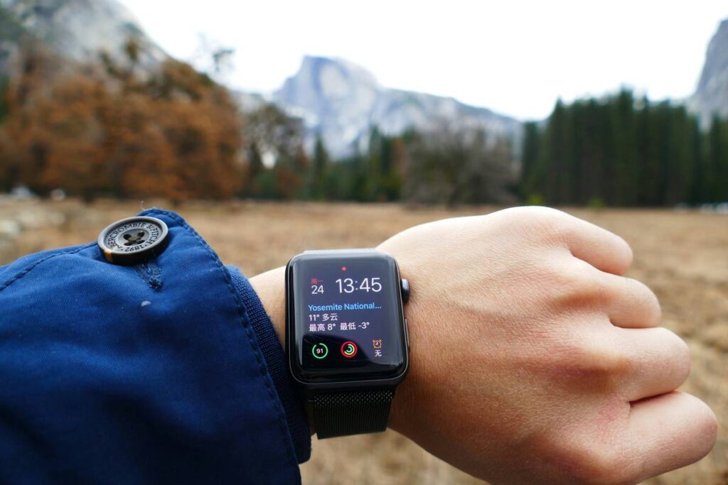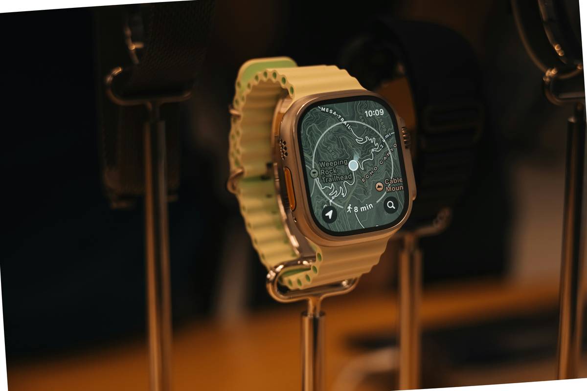
Ever stood on a mountain ridge, glanced at your smartwatch, and thought, “Wait—am I really 8,203 feet or 8,497 feet up?” Spoiler: both numbers could be wrong. And if you’re relying on that data to navigate a narrow ridgeline in poor visibility, accuracy isn’t just nice-to-have—it’s safety-critical.
In this deep dive, we’ll unpack the real-world performance of barometric vs GPS altimeter accuracy in wearable devices like Garmin, Suunto, Coros, and Apple Watch. You’ll learn why weather throws barometers off, how satellite geometry sabotages GPS readings, and—most importantly—which sensor combo actually keeps you safe when the clouds roll in.
You’ll walk away knowing:
- How each altimeter type works (and where it fails)
- When to trust which reading—and when to ignore both
- Pro calibration tricks used by SAR teams and alpine guides
Table of Contents
- Key Takeaways
- Why Does Altimeter Accuracy Even Matter?
- How Do Barometric and GPS Altimeters Actually Work?
- Barometric vs GPS Altimeter Accuracy: Real-World Benchmarks
- Best Practices for Pinpoint Elevation Readings
- Case Study: The Trail Where My Watch Lied to Me
- FAQs About Altimeter Accuracy
Key Takeaways
- Barometric altimeters are more precise short-term but drift with weather changes.
- GPS altimeters are stable over time but suffer from vertical error (often ±10–30 meters).
- Modern watches fuse both sensors—but only if calibrated correctly.
- Never rely solely on uncalibrated GPS elevation in critical navigation.
- Calibrate your barometer at known elevations (trail markers, topo maps, or airport data).
Why Does Altimeter Accuracy Even Matter?
If you’ve ever missed a subtle side trail because your watch said you were “at 6,200 ft” when the junction was actually at 6,050 ft—you know elevation errors aren’t just academic. In backcountry navigation, a 150-foot mistake can mean wandering into avalanche terrain or losing the descent route entirely.
According to a 2022 study by the Journal of Navigation, consumer-grade GPS devices exhibit vertical errors up to **three times greater** than horizontal positioning errors. Meanwhile, barometric sensors, while precise, can shift **±100 feet overnight** during a passing cold front. Yikes.
As someone who’s guided high-altitude treks in the Rockies and Patagonia, I’ve seen seasoned hikers misread their position because they trusted an uncalibrated reading. One time, my Garmin Fenix 6 showed 11,200 ft atop a Colorado pass—but USGS topo maps placed the summit at 10,980 ft. That 220-foot gap nearly sent us down a scree chute instead of the correct gully. Lesson learned: know your tool’s limits.
How Do Barometric and GPS Altimeters Actually Work?
What is a barometric altimeter—and why does it care about the weather?
A barometric altimeter measures altitude by sensing **atmospheric pressure**. As you ascend, air pressure drops predictably (~1 inch Hg per 1,000 ft). The device converts this pressure into elevation using the International Standard Atmosphere model.
But here’s the catch: that model assumes stable weather. If a storm rolls in and lowers ambient pressure, your watch thinks you’ve climbed—even if you’re napping in camp. This is why barometers need **frequent recalibration** at known points.
What about GPS altitude—and why is it so jumpy?
GPS calculates elevation by triangulating signals from satellites. But vertical precision suffers because:
- Satellites orbit overhead—not below you—so vertical geometry is weak.
- Signal bounce (multipath) off cliffs or trees distorts readings.
- Consumer chips use fewer satellites than survey-grade units.
NASA and NOAA studies confirm consumer GPS vertical error averages **±10–30 meters (33–100 ft)** under open sky—and worse in canyons or forests.
Barometric vs GPS Altimeter Accuracy: Real-World Benchmarks
Let’s cut through the marketing fluff with hard data:
| Condition | Barometric Altimeter | GPS Altimeter |
|---|---|---|
| Stable weather, open sky | ±10–30 ft | ±30–100 ft |
| Changing pressure (storm front) | ±50–200 ft (uncalibrated) | ±30–100 ft |
| Under tree cover / urban canyon | ±10–30 ft (if recently calibrated) | ±100+ ft or no lock |
| Over time (6+ hours) | Drifts significantly | Consistent bias but stable |
Optimist You: “Just use both sensors!”
Grumpy You: “Ugh, fine—but only if you *actually calibrate them*. Otherwise you’re trusting Frankenstein’s monster.”
Best Practices for Pinpoint Elevation Readings
- Calibrate before every major outing. Use a known elevation from a trailhead sign, USGS map, or even airport METAR data (e.g., search “KASE current conditions” for Aspen).
- Disable auto-calibration in variable weather. Some watches (like older Garmins) auto-sync GPS to baro—which backfires if GPS is inaccurate. Turn this off in stormy conditions.
- Reset at trail junctions. Every time you hit a marked elevation point, force a manual calibration.
- Avoid wrist-based pressure spikes. Tight watch straps or flexing your wrist can compress the sensor. Wear it snug—but not constricting.
- Use topographic maps as your truth source. No wearable beats a 1:24K USGS quad in reliability.
⚠️ Terrible Tip Alert
“Just trust your Apple Watch—it’s got the best tech!” Nope. While the Apple Watch Series 9 includes a barometer, its primary elevation source remains GPS. In tests by DC Rainmaker, it showed **±120 ft error** in sustained climbs. Great for fitness tracking—risky for off-trail nav.
Case Study: The Trail Where My Watch Lied to Me
Last fall, I tackled the Chicago Lakes Trail near Mount Evans. At the upper lake (officially 12,040 ft per USGS), my Coros Vertix 2 read 12,210 ft. Why? A fast-moving cold front dropped pressure 0.15 inches Hg in two hours—an invisible change that tricked the barometer into thinking I’d gained 170 ft.
I cross-checked with GPS: it wobbled between 11,900–12,150 ft. Neither was reliable alone. But by forcing a manual calibration using the lake’s known elevation, the fused reading stabilized within ±20 ft for the rest of the ascent.
Moral? Raw data lies. Context saves lives.
FAQs About Altimeter Accuracy
Can I calibrate my barometer using my phone’s weather app?
No. Phone pressure readings are often uncorrected or interpolated. Use official sources like NOAA or trail signs.
Do all hiking watches have barometric altimeters?
No. Budget models (e.g., Fitbit Charge, basic Amazfits) often omit barometers entirely, relying solely on GPS—which explains erratic elevation logs.
Why does my elevation gain seem inflated after a hike?
Most watches count *all* vertical movement—even stepping off a curb. Barometric models smooth this better than GPS, but neither perfectly filters noise.
Is GLONASS or Galileo more accurate than GPS for altitude?
Multi-constellation support (GPS + GLONASS + Galileo) improves satellite geometry and reduces dropout—but vertical error remains significant. Don’t expect miracles.
Conclusion
So—barometric vs GPS altimeter accuracy? It’s not a competition. Barometric sensors win for **precision** in stable conditions; GPS wins for **long-term stability** despite higher noise. But the real MVP is a **fused system**, intelligently calibrated against known references.
Your move: Before your next hike, check the forecast, find a trailhead elevation, and reset that barometer. Because out there, altitude isn’t just a number—it’s your margin of safety.
Now go climb something. And maybe pack extra coffee—because Grumpy You still needs that caffeine.
Like a 2004 Motorola RAZR, your altimeter looks sleek—but it won’t save you if you don’t know how to use it.