You trust your smartwatch to track elevation on a mountain trek. But what if that number is off by hundreds of feet? GPS-only altitude readings are notoriously unreliable—and most wearables still treat barometric sensors as an afterthought. Altimeter integration in wearables sounds precise. In reality, it’s often a patchwork of guesswork and outdated calibration.
Why Traditional Altitude Tracking Fails Outdoors
Most outdoor enthusiasts assume their watch “just knows” elevation. It doesn’t.
GPS-derived altitude lacks vertical precision—especially under tree cover or in canyons. Barometric sensors, while more accurate, drift with weather changes. And here’s the kicker: many manufacturers fuse these data streams using simplistic algorithms that ignore real-time atmospheric pressure shifts.
You end up with a smooth-looking graph… that places you 200 feet below actual ridge line. Dangerous? Potentially.
How to Get Reliable Elevation Data From Your Wearable
Forget factory defaults. Real accuracy demands user-aware calibration and sensor synergy. Here’s how to do it right:
Calibrate Before Every Ascent
Set your altimeter to a known elevation point—trailhead markers, USGS benchmarks, or even Google Earth (with caution). Do this *after* arriving onsite. Air pressure changes en route will skew baseline readings otherwise.
Enable Dual-Sensor Fusion (If Available)
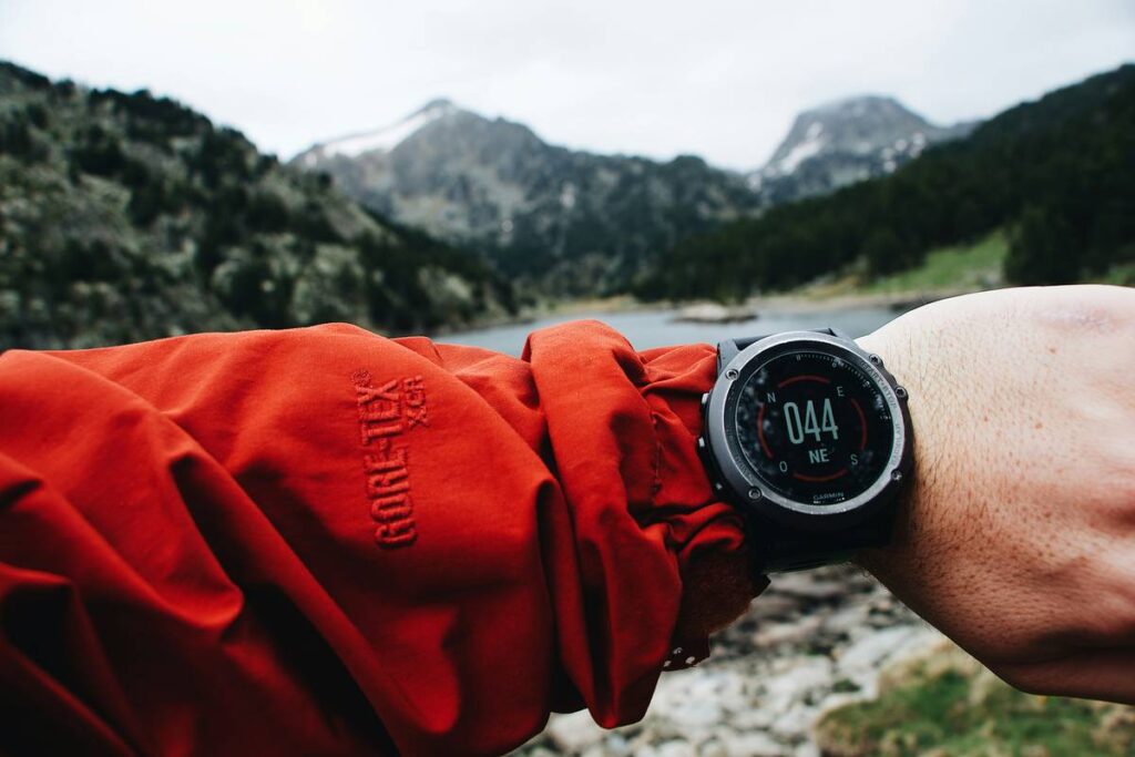
Brands like Garmin, Suunto, and Coros offer “smart” altimeter modes that blend GPS, barometer, and accelerometer data. But they’re not all equal. Some prioritize battery over precision—check firmware notes.
Avoid Auto-Correction Traps
“Auto-calibration” sounds helpful. Often, it’s not. If your watch syncs to weather services mid-hike, a passing front can reset your entire elevation profile. Turn it off unless you’re stationary for hours.
| Method | Accuracy Range | Battery Impact | User Effort |
|---|---|---|---|
| GPS-only altitude | ±100–300 ft | High | None |
| Barometric (uncalibrated) | ±50–150 ft (initially), drifts over time | Low | Low |
| Barometric + manual calibration | ±10–30 ft | Low | Moderate |
| Sensor fusion (calibrated) | ±5–20 ft | Moderate | High |
The Industry Secret: Pressure Isn’t the Only Variable
Here’s what spec sheets won’t tell you: temperature hysteresis ruins barometric accuracy. Cold mornings cause MEMS pressure sensors to read low—even after calibration. Top-tier watches (think Fenix Pro or Epix Gen 2) include thermal compensation circuits. Budget models? They skip it to save $0.37 per unit.
But there’s a workaround: let your watch acclimate for 15 minutes before calibrating. Keep it under your jacket during approach hikes. Small move. Huge difference.
FAQ
Can I trust my Apple Watch for elevation tracking?
No—if you’re serious about vertical accuracy. It lacks a true barometric altimeter in most models and relies heavily on GPS, which struggles in elevation-critical scenarios.
How often should I recalibrate my watch altimeter?
Before every significant ascent, especially if weather has changed since your last outing. Pressure shifts of just 0.1 inHg = ~100 ft error.
Does altimeter integration in wearables work indoors?
Poorly. Barometric sensors need stable atmospheric conditions. Indoor HVAC systems cause rapid pressure fluctuations, making elevation readings meaningless.