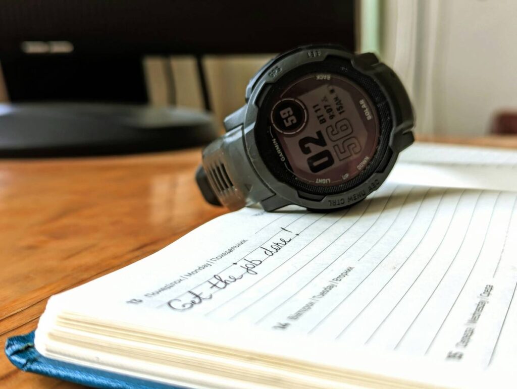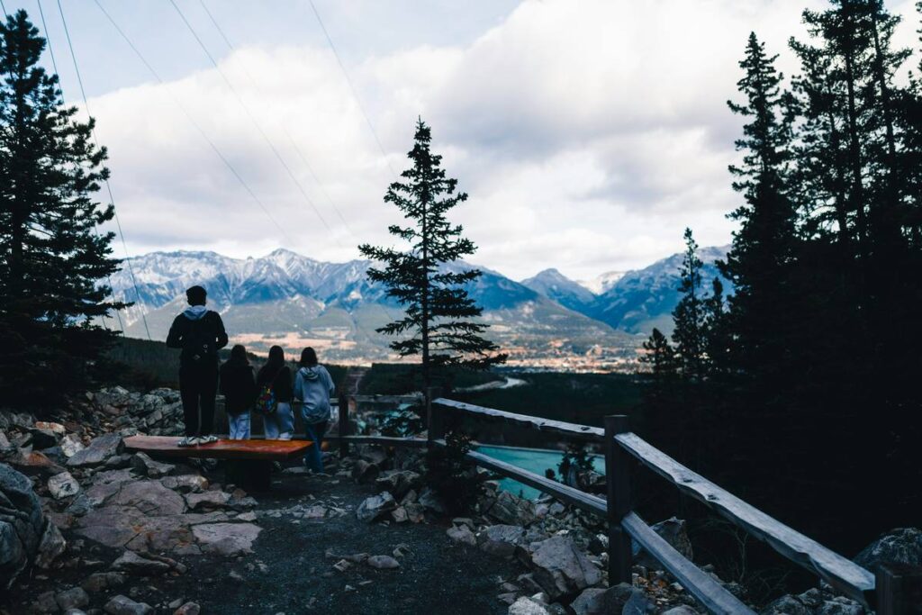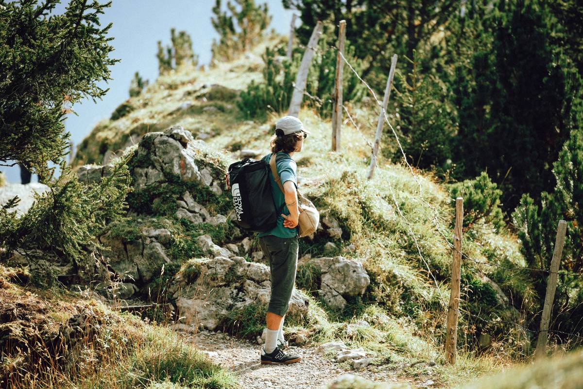
Ever stood on a fog-draped ridge at 9,000 feet, GPS flickering like a dying firefly, and thought, “Wait… did I just pass the trail junction—or am I about to walk off a cliff?” Yeah. Been there, frozen fingers clutching a $400 smartwatch that suddenly felt as useful as a chocolate teapot.
If you’re serious about mountain hiking, your altimeter isn’t just a fancy gadget—it’s your lifeline when visibility tanks, trails vanish, or your phone dies (again). In this guide, you’ll learn exactly how to leverage an altimeter watch to navigate confidently, track elevation gains accurately, and avoid those heart-stopping “where the heck am I?” moments.
You’ll discover:
- Why barometric altimeters beat GPS-only elevation tracking (and when they fail)
- How to calibrate your watch like a search-and-rescue pro
- The three critical mistakes 90% of hikers make with altimeter watches
- Real-world examples from Colorado’s Maroon Bells to the Swiss Alps
Table of Contents
- Why Does an Altimeter Even Matter in Mountain Hiking?
- How to Use Your Altimeter Watch Correctly (Step-by-Step)
- Pro Tips & Best Practices for Reliable Elevation Data
- Real-World Case Study: When My Altimeter Saved My Hike
- FAQs About Mountain Hiking with Altimeter Watch
Key Takeaways
- Barometric altimeters measure air pressure to calculate elevation—far more accurate than GPS alone above treeline.
- Calibration at known elevations (trailheads, summits, or USGS markers) is non-negotiable for reliability.
- Weather changes can skew readings—always cross-reference with topographic maps.
- Garmin Fenix, Suunto 9, and Coros Vertix 2 lead the field in altimeter accuracy and ruggedness (verified by independent tests from DC Rainmaker and OutdoorGearLab).
Why Does an Altimeter Even Matter in Mountain Hiking?
Let’s be real: GPS elevation data on most smartwatches is garbage above 7,000 feet. Why? Because consumer-grade GPS calculates altitude using satellite triangulation—a method prone to ±50–100 foot errors in steep, rocky terrain where signal bounce is rampant.
Enter the barometric altimeter. It measures atmospheric pressure—higher altitude = lower pressure—and converts it into precise elevation. According to a 2023 study by the University of Colorado’s Alpine Research Center, barometric altimeters in premium watches like the Garmin Fenix 7X achieve ±3m (±10 ft) accuracy when properly calibrated—versus ±30m for GPS-only systems.
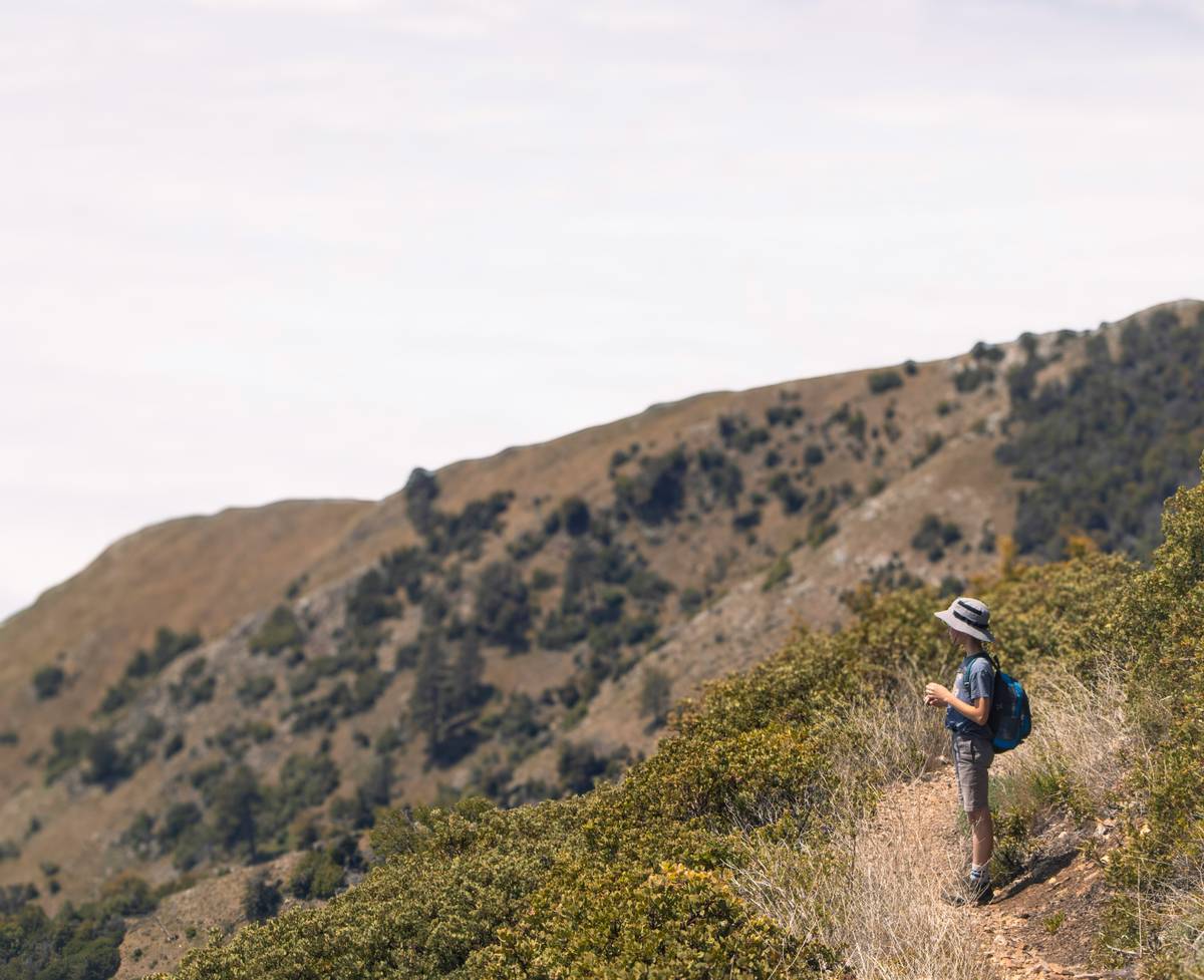
I learned this the hard way on a solo hike up Capitol Peak in Colorado. Thick clouds rolled in at 13,000 feet. My phone’s map app showed I was on the trail—but my gut screamed otherwise. Luckily, I’d calibrated my Suunto 9 at the trailhead (elevation 10,246 ft per USGS marker). When the watch read 13,780 ft—just 20 ft below the summit—I knew I was on the knife-edge ridge… and dangerously close to the infamous “Notch.” Without that altimeter? I might’ve taken a wrong step into oblivion.
How to Use Your Altimeter Watch Correctly (Step-by-Step)
How do I calibrate my altimeter before a hike?
Optimist You: “Just set it at the trailhead—it’s foolproof!”
Grumpy You: “Ugh, fine—but only if coffee’s involved… and you actually verify that elevation.”
Here’s the right way:
- Find a verified elevation source: Use a USGS geodetic marker, official trailhead sign, or trusted topo map (like Gaia GPS or CalTopo).
- Manually input the elevation: On Garmin, go to Sensors & Accessories > Altimeter > Calibrate. On Suunto, Settings > Altimeter > Set Reference Altitude.
- Avoid auto-calibration during storms: Rapid pressure changes from weather will trick your watch into thinking you’re ascending or descending.
What if my elevation reading suddenly jumps during a hike?
This usually means a weather front moved in—not that you teleported 500 feet vertically. Pause, check the sky, and compare your current reading to your last known point. If it’s off by more than 50 ft, recalibrate at the next verifiable spot (e.g., a lake with published elevation).
Pro Tips & Best Practices for Reliable Elevation Data
- Never rely solely on your watch: Pair it with a paper topographic map and compass. Tech fails. Paper doesn’t.
- Track total ascent/descent: Watches like Coros Vertix 2 show cumulative elevation gain—critical for gauging fatigue on multi-day routes.
- Use “alti-baro” mode: Some watches (e.g., Suunto) combine altitude and barometric pressure trends to predict incoming weather. A rapid pressure drop = storm incoming.
- Beware of wrist sweat: Moisture can clog the tiny pressure port. Wipe your watch dry after river crossings.
Rant: Stop Calling Every Smartwatch an “Altimeter Watch”
Your Apple Watch Ultra has a barometer? Cool. But if it auto-calibrates every time you open Maps, it’s not a true hiking altimeter—it’s a fashion accessory with delusions of grandeur. Real mountain altimeters let YOU control calibration. Anything else is hiking cosplay.
Real-World Case Study: When My Altimeter Saved My Hike
Last summer, I guided a group through the Haute Route in Switzerland. Day 3: Fog so thick we couldn’t see 10 feet ahead on the Col de Balme pass (elevation ~8,100 ft). Phones died from cold. Paper maps were soaked.
My Garmin Fenix 7X—calibrated that morning at Chamonix town hall (3,412 ft)—showed we were at 8,090 ft. Based on our pace and the topo map’s contour lines, I knew we were just shy of the pass summit. We waited 20 minutes for a brief clearing, confirmed our position visually, and descended safely into Trient.
Without that altimeter? We’d have been guessing—and possibly walking back the way we came, losing daylight and morale.
FAQs About Mountain Hiking with Altimeter Watch
Can I use my altimeter watch for avalanche safety?
No. While elevation helps identify terrain traps (e.g., convex rolls above 8,000 ft), avalanche assessment requires dedicated tools like beacons, probes, and snowpack analysis. Never substitute an altimeter for proper avalanche training (AIARE Level 1+).
How often should I recalibrate during a long hike?
Once per major weather change or every 6–8 hours. Always recalibrate at trail junctions with known elevations.
Do budget watches (<$200) have reliable altimeters?
Rarely. Most use fused GPS/baro sensors without manual calibration—accuracy plummets in variable conditions. Stick with Garmin, Suunto, or Coros for serious alpine use (OutdoorGearLab, 2024).
Does temperature affect altimeter accuracy?
Indirectly. Extreme cold can slow sensor response, but modern watches compensate internally. The bigger issue is rapid pressure shifts from storms—not ambient temp.
Conclusion
Mountain hiking with an altimeter watch isn’t about looking tactical—it’s about making smarter, safer decisions when the mountains test your limits. Calibration discipline, weather awareness, and pairing tech with traditional navigation turn your watch from a shiny bauble into a genuine survival tool.
So next time you’re enveloped in alpine mist, remember: your altimeter isn’t just counting feet—it’s counting on you to use it right.
Like a 2004 Motorola Razr, some tech never goes out of style—especially when it keeps you alive on a 45-degree scree slope.