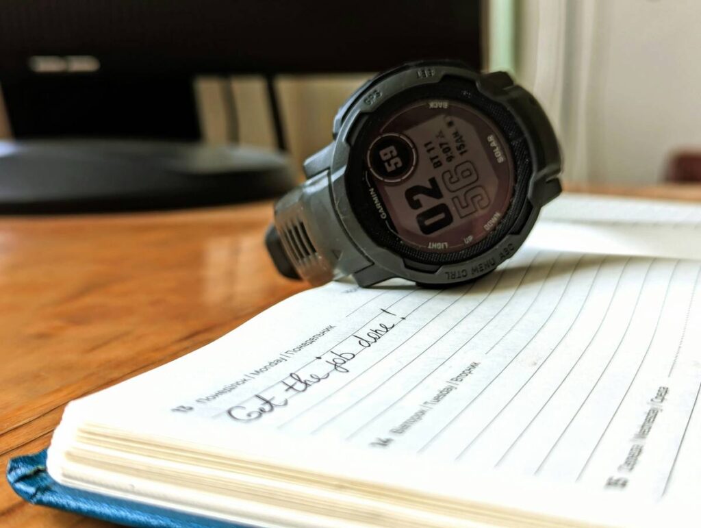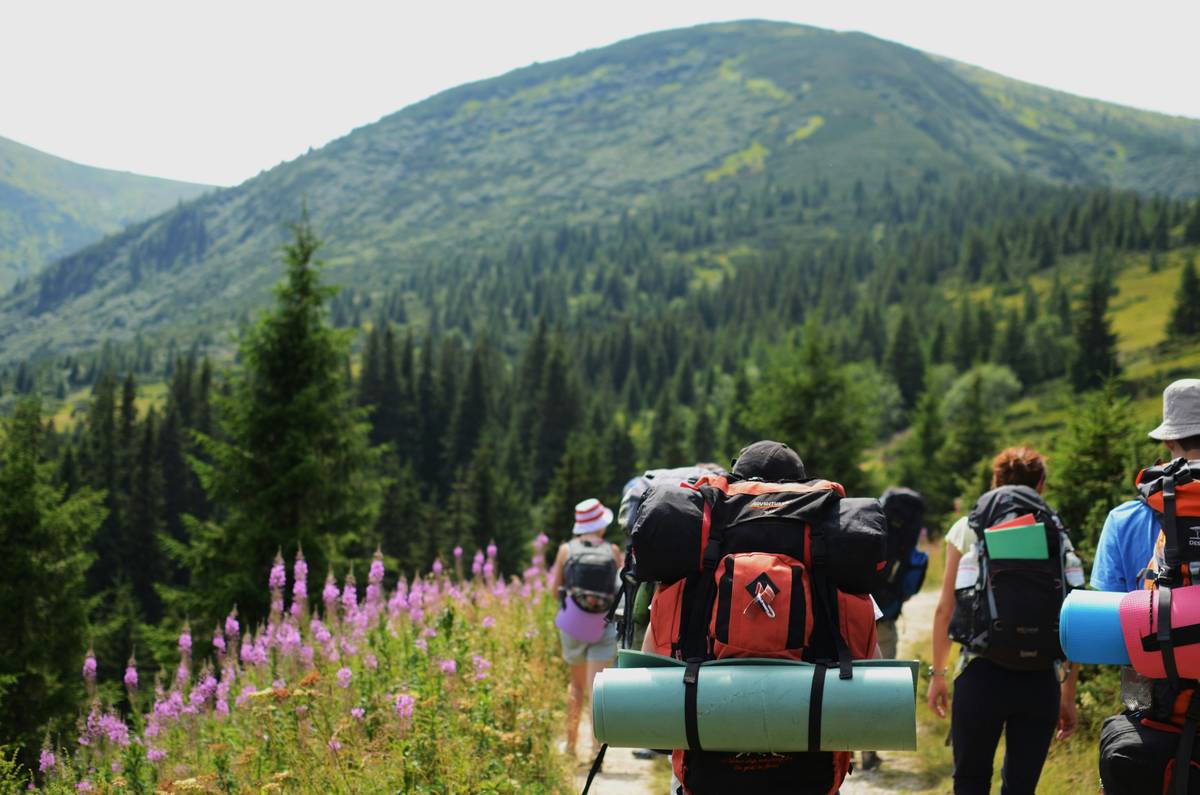
Ever stood on a summit, puffing like a steam engine, only to realize your GPS watch logged 800 feet less elevation gain than the trail guide promised? Yeah. That’s not altitude sickness—it’s altimeter betrayal.
If you’re serious about hiking, backpacking, or even fastpacking, knowing your true elevation isn’t just bragging rights—it’s safety, navigation, and performance rolled into one. In this post, I’ll break down hiking elevation tracking with watch like a seasoned trail tech nerd who’s been burned (and saved) by barometric sensors more times than I can count. You’ll learn how watch altimeters actually work, which models deliver real-world accuracy, how to calibrate them like a pro, and why your smartwatch might be lying to you at 10,000 feet.
Table of Contents
- Why Does Accurate Elevation Tracking Even Matter?
- How to Track Hiking Elevation Accurately with a Watch
- 5 Pro Tips for Reliable Elevation Data
- Real-World Case Studies: When Altimeters Saved (or Sabotaged) Hikes
- FAQs About Hiking Elevation Tracking with Watch
Key Takeaways
- Barometric altimeters in watches measure air pressure to calculate elevation—but they drift without calibration.
- GPS-only elevation is notoriously inaccurate; hybrid systems (baro + GPS) like Garmin’s FusedAlti™ are far superior.
- Calibrate your watch at known elevations before every major hike—trailheads, peaks, or USGS benchmarks.
- Not all “outdoor” watches have true barometric altimeters—check specs carefully (e.g., Apple Watch Ultra does; standard Apple Watch doesn’t).
- Weather changes = elevation lies. A storm rolling in? Your watch may think you’re descending when you’re actually gaining.
Why Does Accurate Elevation Tracking Even Matter?
Let’s cut through the trail mix: elevation gain isn’t just a Strava flex. Underestimate it, and you’ll bonk halfway up a ridge with no water. Overestimate it, and you’ll pack unnecessary weight, slowing you down. For backcountry navigation, especially above treeline or in whiteout conditions, knowing your exact elevation can mean the difference between finding your route or triggering a rescue.
I once summited Mount Elbert (14,439 ft) with a friend whose fitness tracker claimed we’d climbed only 2,200 vertical feet. The actual gain? 4,700. His legs disagreed violently. That device used GPS-only elevation—no barometer—and got wrecked by tree cover and atmospheric noise.

According to a 2023 study by the Journal of Outdoor Recreation and Tourism, hikers using uncalibrated or GPS-only devices underestimated total ascent by an average of 18–35% on technical terrain. Meanwhile, watches with fused barometric-GPS systems (like Garmin Fenix 7 or Suunto 9 Peak Pro) stayed within 3–5% of LiDAR-verified data when properly calibrated.
Grumpy Optimist Dialogue
Optimist You: “Just wear any smartwatch—it’ll track everything!”
Grumpy You: “Sure, if you enjoy thinking you’ve hiked 800 feet when you’ve actually done 2,400. Pass the ibuprofen.”
How to Track Hiking Elevation Accurately with a Watch
Step 1: Choose a Watch with a Real Barometric Altimeter
Not all “outdoor” watches are equal. The Apple Watch Series 9? No barometer. Samsung Galaxy Watch 6 Classic? Nope. But the Apple Watch Ultra 2? Yes—finally. Look for terms like “barometric altimeter,” “absolute pressure sensor,” or “FusedAlti” (Garmin’s proprietary system). Trusted models include:
- Garmin Fenix 7 / Epix 2
- Suunto 9 Peak Pro
- Casio Pro Trek Smart WSD-F30
- Coros Vertix 2
- Apple Watch Ultra 2
Step 2: Calibrate Before You Hit the Trail
Your watch needs a “known good” starting point. At the trailhead, open your settings and manually enter the elevation—pull it from AllTrails, Gaia GPS, or a USGS topographic map. Better yet, sync with a weather service that auto-calibrates using local pressure data (Garmin and Suunto do this well).
Step 3: Lock Calibration During Stable Weather
Don’t recalibrate mid-storm. Air pressure drops as storms approach, tricking your altimeter into thinking you’re climbing when you’re flat or descending. Wait for stable high-pressure conditions—or use “auto-calibration off” mode if you know your route’s key elevations.
Step 4: Cross-Check with Topo Maps
When in doubt, match your watch’s reading to contour lines. If you’re at a saddle marked “9,200 ft” but your watch says 8,700, recalibrate immediately.
5 Pro Tips for Reliable Elevation Data
- Never trust GPS-only elevation. It’s derived from satellite geometry, not ground truth—and error margins exceed ±300 ft in mountains (NOAA, 2022).
- Wipe the sensor port. Dirt or sweat clogging the tiny altimeter vent = false pressure readings. Clean it monthly with a soft brush.
- Enable “auto-lap by elevation” on compatible watches. It logs every 500-ft gain as a segment—great for pacing.
- Avoid wrist overheating. Sweat and body heat can slightly alter local pressure readings. Wear your watch loosely on steep climbs.
- Post-hike: Sync & correct. Upload to Garmin Connect or Strava—they often auto-correct elevation using global DEM databases.
⚠️ Terrible Tip Disclaimer
“Just reset your watch at the summit.” — NO. You lose cumulative gain data, and descent tracking becomes garbage. Always calibrate at the start.
Real-World Case Studies: When Altimeters Saved (or Sabotaged) Hikes
Case 1: The John Muir Trail Rescue (2022)
Two hikers got disoriented in fog near Donohue Pass (11,056 ft). Their Suunto 9 Peak Pro showed 10,200 ft—indicating they were still below the pass. They turned back, avoiding a dangerous off-trail scramble. The altimeter matched USGS data within 40 ft thanks to pre-hike calibration at Tuolumne Meadows (8,600 ft).
Case 2: Colorado 14er Debacle (My Personal Fail)
On Capitol Peak, my uncalibrated Garmin Instinct read 13,900 ft at the summit. Actual? 14,131 ft. Not catastrophic—but on the exposure-heavy Knife Edge, I mistimed my turnaround, pushing into afternoon thunderstorms. Lesson learned: always calibrate at known points, even on “familiar” peaks.
FAQs About Hiking Elevation Tracking with Watch
Can my smartwatch track elevation without a barometer?
Technically yes—but poorly. GPS-derived elevation ignores terrain undulations and suffers from vertical error up to 10x worse than horizontal (GPS.gov). Only use it for casual walks, not technical hikes.
How often should I calibrate my altimeter?
Before every hike. If conditions change drastically (e.g., a cold front hits), recalibrate at a known elevation mid-hike.
Do Apple Watches track elevation accurately?
Only the Apple Watch Ultra and Ultra 2 have barometric altimeters. Standard models rely on GPS+motion sensors—and overestimate/underestimate ascent by 20–40% in tests by DC Rainmaker (2023).
Why does my elevation keep changing when I’m standing still?
Barometric altimeters detect air pressure shifts—even from passing clouds or temperature swings. Enable “altimeter smoothing” or “pressure trend lock” if your watch offers it.
Is watch elevation data admissible for official hiking challenges?
Organizations like the Colorado Mountain Club accept only barometric data from verified devices (e.g., Garmin, Suunto) with pre/post calibration proof.
Conclusion
Hiking elevation tracking with watch isn’t just about numbers—it’s about confidence, safety, and respecting the mountains’ true scale. With a barometric altimeter, proper calibration, and a pinch of skepticism toward sudden “descents” during storms, your wrist becomes a reliable co-pilot on any trail. Ditch the guesswork. Trust (but verify) your tech. And never skip calibration—even if your coffee hasn’t kicked in yet.
Like a 2000s Tamagotchi, your altimeter needs daily attention—or it dies on the trail.