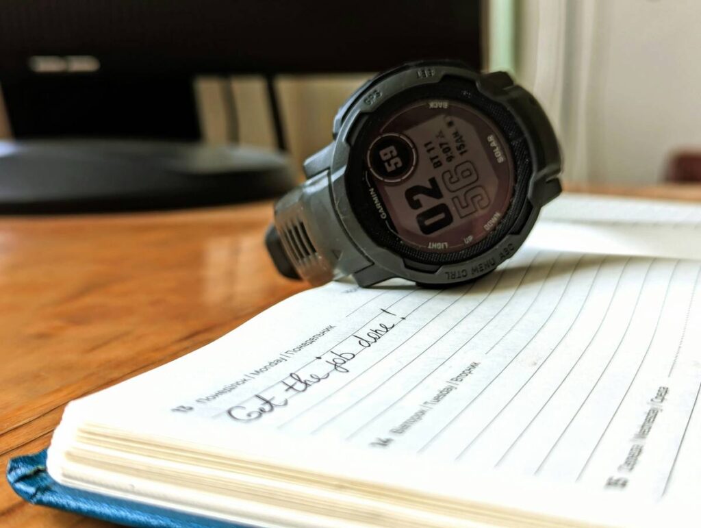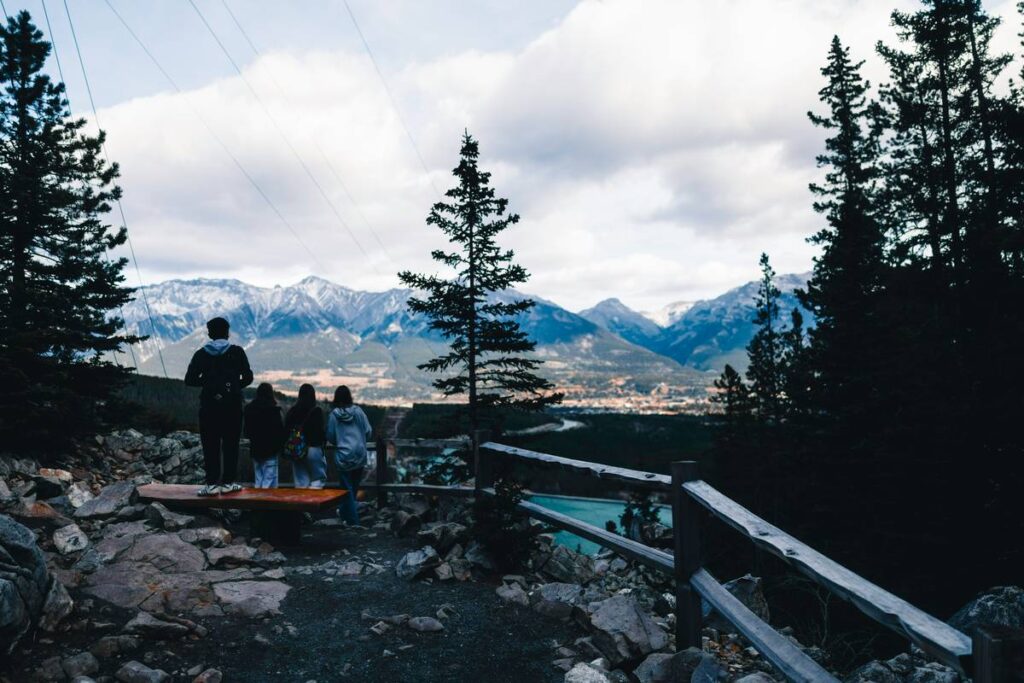
You’re halfway up a fog-shrouded ridge, GPS flickering, trail markers vanished. Your altimeter reads 6,200 feet—but the topo map says you should be at 5,800. Panic sets in. This isn’t just inconvenient—it’s dangerous. The solution? Precision, calibration, and a deep understanding of what your altimeter actually tells you. Forget guesswork. Here’s how to use it right.
Why Most Hikers Misuse Altimeters (And Get Lost)
Altimeters don’t measure height—they measure air pressure. And atmospheric pressure shifts with weather, not just elevation. A storm rolling in can drop pressure faster than you descend, tricking your watch into thinking you’ve climbed 500 feet overnight. Many hikers treat their altimeter like a magic number—trusting it blindly without context. That’s a recipe for error. GPS drift compounds the issue in dense canyons or under thick tree cover. Without cross-referencing terrain features or maps, even the most expensive device becomes a liability.
Best Practices for Altimeter Use on Hikes
Reliable altimetry isn’t about gear—it’s about process. Calibrate early. Verify often. Interpret intelligently.
Calibrate at Known Elevation Points
Start every hike by setting your altimeter at a trailhead with a posted elevation sign. No sign? Use your phone’s GPS—but only if satellite reception is strong (≥8 satellites). Even then, expect ±20-foot variance. Better yet: use a USGS benchmark if nearby. Once calibrated, resist resetting unless you hit another verified point mid-hike.
Track Relative Changes—Not Absolute Numbers
Your altimeter shines when measuring gain/loss between waypoints—not as a standalone “you are here” tool. Watch the trendline. If you descend 400 feet over two miles according to your watch, and your map confirms a matching contour drop, you’re on track—even if the absolute reading seems off.
Sync with Weather Data
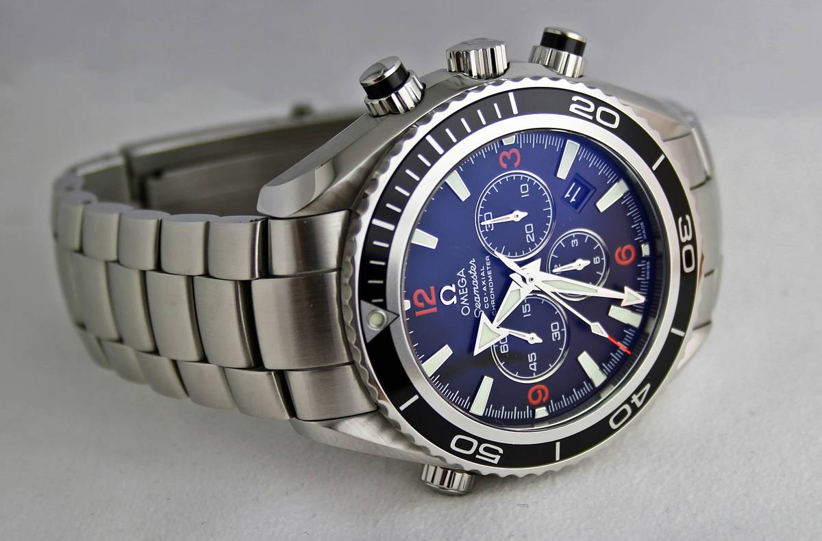
Barometric altimeters lie when pressure systems shift. Check the local forecast before departure. If a front is moving in, anticipate false ascent readings. Some smartwatches (like Garmin Fenix or Suunto) auto-correct using networked weather data—but only if synced recently. Don’t assume it’s updated.
| Calibration Method | Accuracy Range | When to Use | Risk of Error |
|---|---|---|---|
| Trailhead Elevation Sign | ±10–20 ft | Ideal start point | Low |
| Phone GPS (strong signal) | ±30–50 ft | Backup if no sign | Moderate |
| USGS Benchmark | ±5 ft | Precision hiking | Very Low |
| No Calibration | ±200+ ft | Never acceptable | Critical |
The Industry Secret: Altimeters Are Backup Tools—Not Primary Navigation
Here’s what manufacturers won’t tell you: Even the best barometric altimeters fail silently during rapid pressure changes. I once guided a group in the Cascades where a microburst caused our watches to show a 300-foot climb—while we were standing still. We only caught it because we cross-checked with slope angle and stream drainage patterns. The real pro move? Treat your altimeter like a compass—it supports your map, but never replaces it. And always carry a paper topo. Batteries die. Screens crack. But contour lines? They’re eternal.
Frequently Asked Questions
How often should I recalibrate my hiking altimeter?
Recalibrate only at verified elevations—typically trailheads or major waypoints. Never arbitrarily reset mid-ascent unless you’re certain of your location via other means.
Can I trust my smartwatch altimeter over GPS elevation?
Barometric altimeters are more stable for tracking gain/loss, but GPS is better for absolute position. Use both—and let terrain confirmation be your tiebreaker.
Do temperature changes affect altimeter accuracy?
Indirectly, yes. Cold air is denser, which can skew pressure readings. High-end models compensate internally, but budget watches may not. Always prioritize recent calibration over raw numbers.